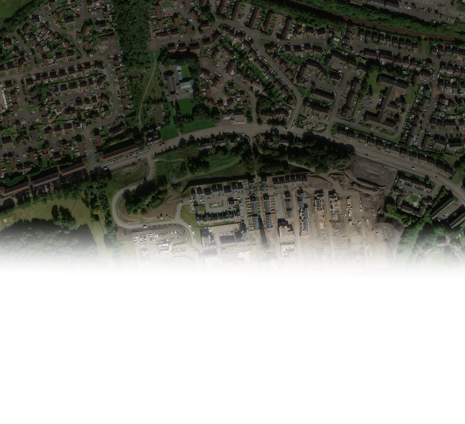
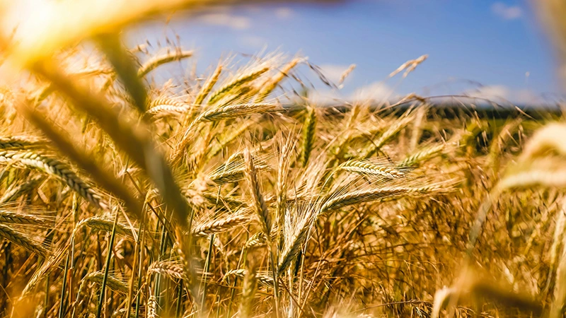
Acquire detailed, high-resolution and spectral infrared imagery not visible to the human eye.
Receive updated imagery every 2-5 days with each satellite pass over your field.
Quickly analyze data and gain insights with our user-friendly, color-coded maps.
Zoom in to explore highly detailed data for each acre and compare multiple indices.
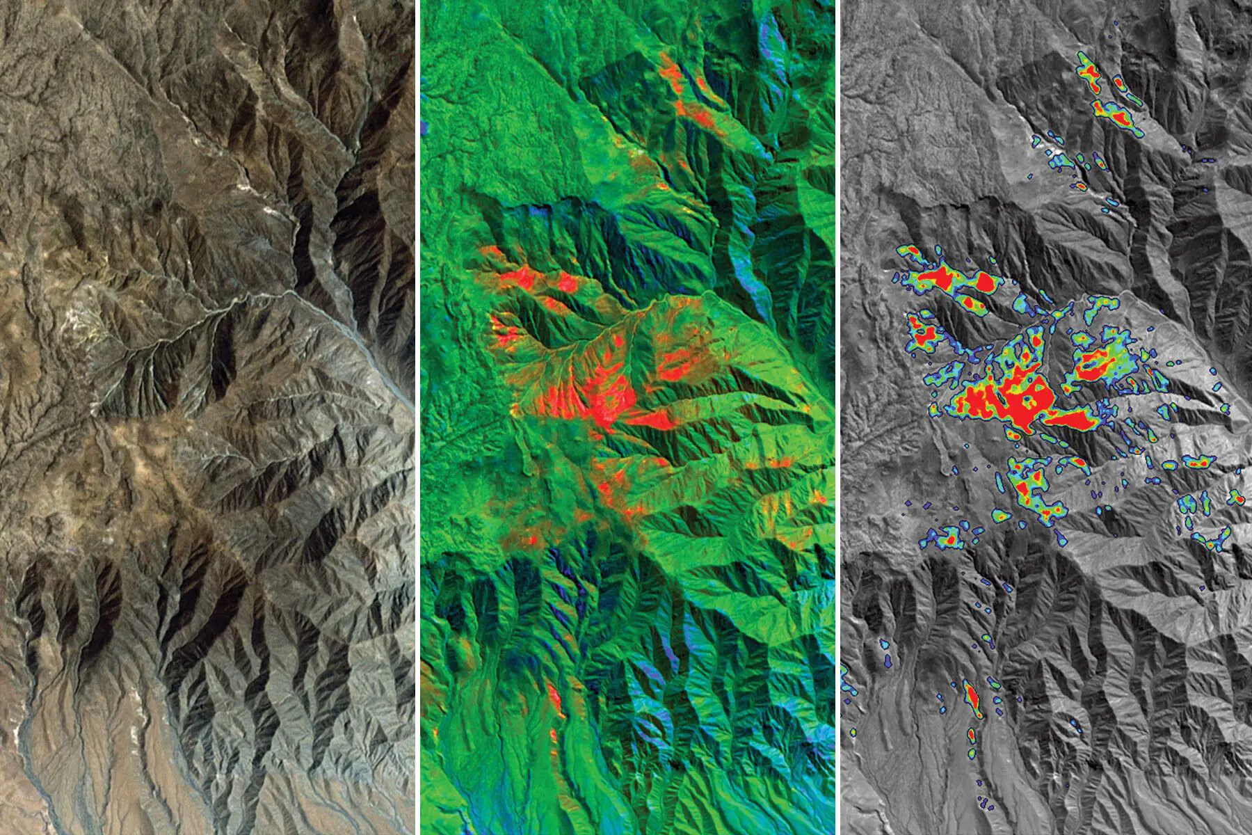
Understand geological processes and overcome exploration challenges through structural interpretation of remote sensing data
Empowering crop insurance firms and adjustors to elevate the risk assessment and damage evaluation processes.
Making the farm properties valuation process smooth and confident for appraisers by showing hidden details.
 Something Interesting
Another Blog Post
Click Bait Article
Something Interesting
Another Blog Post
Click Bait Article
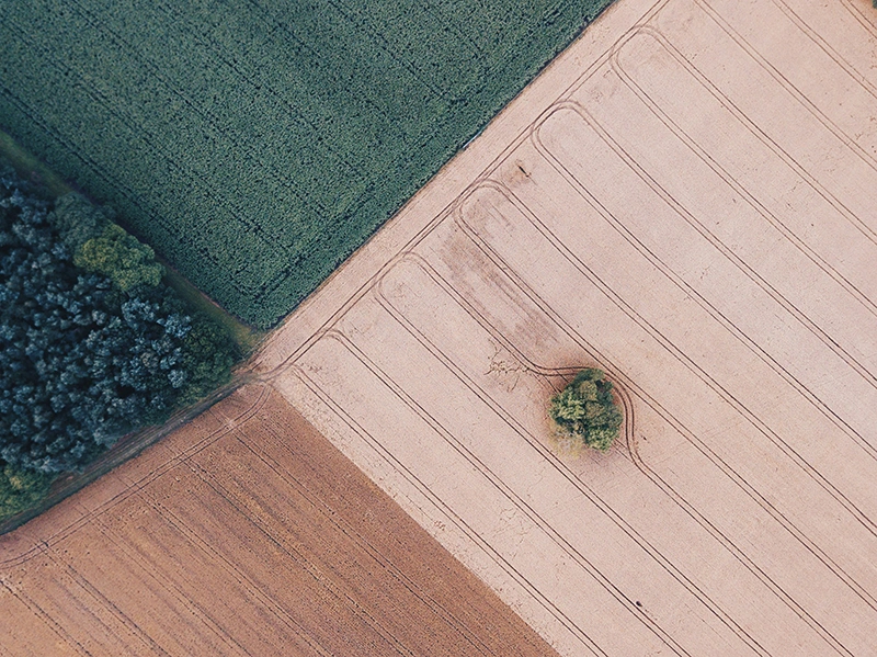
Acquire actionable intelligence across expansive agricultural areas. Our satellite imagery and vegetation indices furnish consistent and dependable data for comprehensive crop monitoring.
Enhance the precision and efficiency of field inspections. Equip adjusters with precise field data prior to their arrival, facilitating more effective on-site evaluations.
Streamline and accelerate the claims resolution process. Leverage satellite-based damage assessments to minimize manual verification time and elevate the accuracy of claim settlements.